A few more notably cold days to come, with overnight frosts and a snow shower chance. Then things get complex and uncertain as less cold air tries to push across from the west…
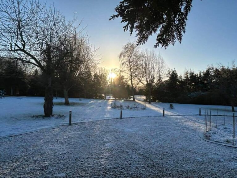
Thanks to Tracy for the photograph.
We start the forecast period with high pressure to our north-west which has allowed cold air to plunge down from the Arctic. Low pressure is much further south over Spain/Portugal.

Today will be mostly sunny but cold, reaching 2’C, maybe 3’C at a push. A little cloud around at times. Some clear spells overnight though also a few light snow showers moving south in the early hours – you may get one, you may not – those places that do will see a slight covering (in mm, not cm) – and likely icy by dawn. Down to around -4’C so frosty for all too.
Monday starts frosty, and icy if you saw a light snow shower overnight. Mostly sunny once more, some cloud at times and a tiny chance of a snow flurry, but very unlikely – and very light if you do catch one. Notably cold, around 1’C. Mostly clear skies overnight and a fairly sharp frost, widely down to around -5’C, give or take. Perhaps one or two fog patches by dawn, but only a small chance.
By Tuesday things start to become messy and more uncertain as a small low pressure crosses Scotland, from the west/north-west. Sunny to start but it will cloud over somewhat, an initial feature may bring a snow shower around lunchtime – very uncertain, maybe a 25% chance. Dry after, some sun, some cloud – a little less cold too at around 3’C. Overnight sees a weather front sink south-east, bringing most likely some rain (temperatures ticking up a tad to around 4’C) but possibly there could be a wintry mix to it.
Wednesday looks mostly bright with spells of sunshine, and varying amounts of high/mid-level cloud around. Still on the cold side, around 3’C. In the evening/overnight another weather front will cross from the west – most likely rain, but possible there is some sleet/snow in the mix, perhaps a snow to rain event, though the emphasis on the rain feels more likely. Temperatures rising to around 5’C overnight, give or take.
That’s about as far as I can go with any confidence on details.
Low pressure systems likely take over from this point, but the track is uncertain, and hence the timing of any bands of rain, and whether they could turn into snow, or feature a snow-to-rain event. Such an outcome is possible for Thursday/Friday and maybe Saturday.
So basically expect rain at some points on Thursday/Friday and Saturday – probably not every day, and expect it to be windy at some point, perhaps very windy. And it might snow instead of rain, at some point.
Impossible to give any more details.
Probably milder by Sunday, but don’t hang your hat on it – everything is highly uncertain from Thursday onwards, if not Tuesday onwards.
Next full forecast should be on Thursday morning, but if it looks probable that there will be a snow event on Thursday/Friday, I will try to do a brief update before then.
Any comments?
No comments yet. Be the first to comment!