The cold spell is ending, with milder air and some rain at times to replace it. All fairly ordinary.
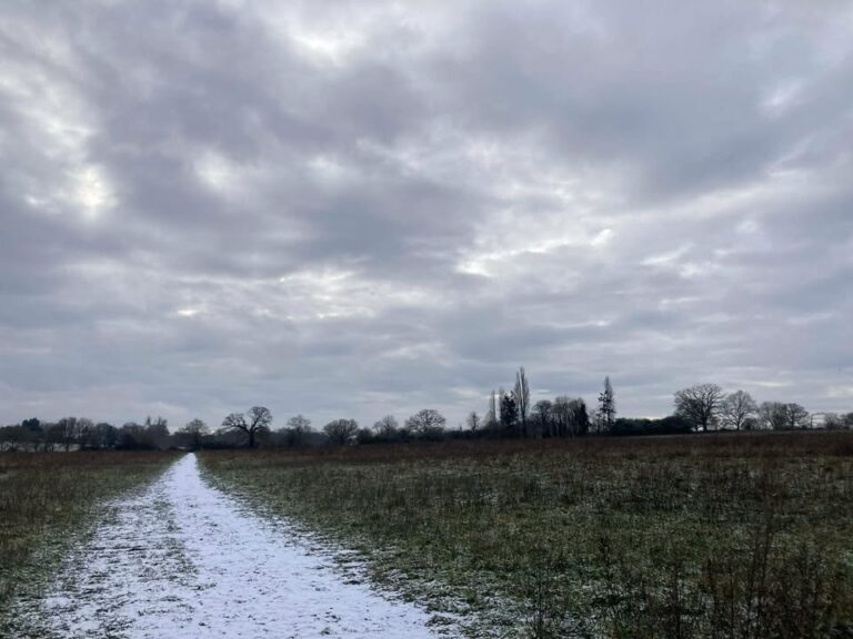
I’ve had a sudden splurge of photos so thanks for them all, too many to use so as always, do forgive me if I don’t use yours. Thanks to Isabel for this week…yes I do often need cloudy photos!
We still have a fairly slow-moving pattern, with low pressure to the west/north-west and a south-westerly flow picking up – always a mild direction.

Today starts cloudy, the odd spot of light rain around this morning and it’s still cold. From mid/late morning onwards there will be outbreaks of rain, generally light or moderate. Starting the day around 0’C but it will creep up to around 6’C by dusk. Gradually becoming windy too. Some heavier outbreaks of rain around in the evening, temperatures up to a mild 11’C – generally cloudy overnight, the odd spot of rain still possible, and around 9’C.
Monday will generally be rather cloudy – some bright spells at times with some hazy sunshine, a few scattered bits of showery rain possible too at times. Around 10’C and breezy. Mostly cloudy overnight, perhaps some clear spells, around 7’C.
Tuesday remains cloudy and further rain will arrive. Some uncertainty on the track and hence when it will arrive, more likely it arrives in the morning so bringing a wet day – though a smaller chance that it tracks further west, and hence doesn’t arrive until later in the day. But assume the former, for now. Around 10’C and breezy. In either scenario, the rain probably still around in the evening and the first part of the night – but colder air likely arrives for the second half of the night, so a frost possible – down to around 0’C once the rain clears. Perhaps icy, a small chance of some fog patches.
Wednesday sees a ridge of high pressure – sunny to start, gradually clouding over as the day goes on. Colder air in place, around 5’C. A weather front will bring some rain across, either in the evening or overnight.
By Thursday we see the next low pressure system lurking to the west.

Thursday itself is probably a reasonable day, spells of sunshine – if not sunny for most of the day. Around 8’C. A shower possible in the breeze. Rain possible overnight – though quite uncertain.
Details more uncertain by this stage – the general pattern sees the low pressure head towards the UK but weaken as it does.
Showers or showery rain probable on Friday, and possible on Saturday – temperatures around 8’C or so, which is what you’d expect for this time of year.
Dry is the slightly more likely outcome for next Sunday but I really wouldn’t want to promise it quite yet – more weather fronts will be waiting, but also the high pressure block to our east will be trying to push back west.
And that will likely be the story of the weather the week after – how far west can the high pressure block (and associated colder weather) push back west?
Enjoy your Sunday.
Any comments?
No comments yet. Be the first to comment!