Mostly dry and becoming somewhat colder for Christmas week.
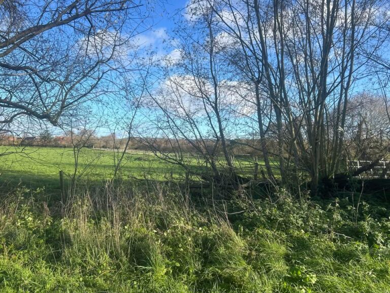
Thanks to Tracy for the photograph.
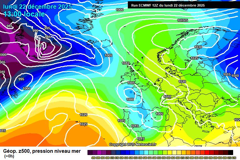
So the general overview sees high pressure developing over Scandinavia, with an easterly flow setting up – and the current diminished low pressure moving south.
Tonight will be mostly cloudy, a little light rain/drizzle possible at times, perhaps some mist too. Down to around 7’C.
Tuesday will be dry but cloudy. The easterly breeze starting to make it feel somewhat colder, around 7’C. Remaining cloudy overnight, down to around 4’C.
Christmas Eve should see more in the way of sunshine – still some cloud floating around at times. A bit colder, around 5’C and feeling colder than that in the wind. Skies tending to clear overnight, likely too windy for a frost – down to around 1’C.
Christmas Day should be mostly sunny – but cold. 4’C and fairly windy – so feeling colder than it will register on the thermometer. Perhaps some cloud later in the day – a very, very small chance of a wintry shower but highly unlikely. Some cloud probable overnight, though clear spells also – touch and go on a frost, down to around 0’C but still probably too breezy.
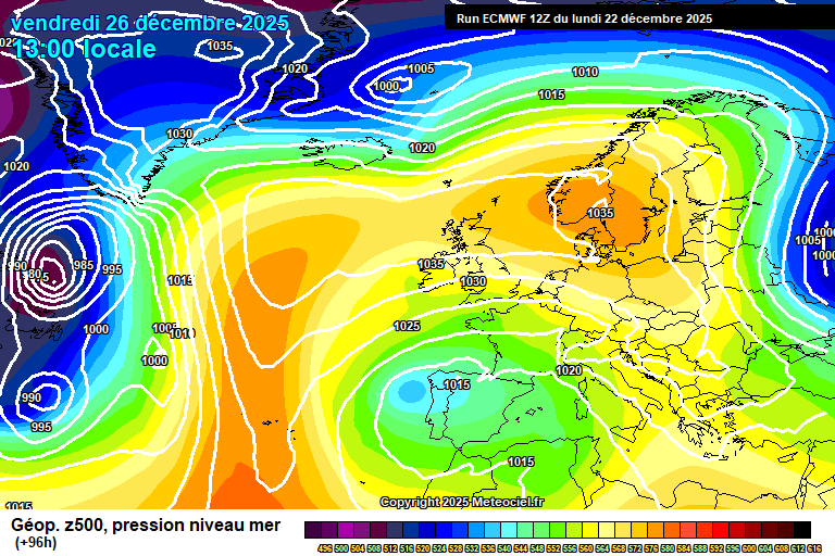
High pressure remains in control for Boxing Day, and the easterly flow remains – though not tapping to anything especially cold over Europe.
It will remain dry for Boxing Day – uncertain on cloud/sunshine amounts, though more likely a mixture of cloudy and sunny spells during the course of the day. A bit less cold, around 5’C and the breeze lessening. Uncertain on cloud amounts overnight – frost possible if skies are clear.
Again Saturday is uncertain on cloud/sunshine amounts – probably a mixture of cloudy and sunny periods once more. Around 6’C. Cloudy spells more likely overnight.
Sunday probably on the cloudier side of the spectrum, though temperatures nudging up a tad more to around 7’C. Still some uncertainty, so I cannot rule out something on the sunnier side of the spectrum.
High pressure likely, if not certainly, remains close by next week.
More likely we’ll keep with the average temperatures and a fair amount of cloud – perhaps some mist/fog at times, possibly some occasional light rain/drizzle.
But there is a small chance instead that high pressure moves further north-west and we get a more northerly flow with some wintry showers. I’d say this is a 20% chance at best, but something to have on your radar if you have plans for New Year.
Probably it stays mostly dry and settled for at least the first week of January, perhaps two weeks.
So I wish you all a very Merry Christmas!
I doubt I’ll do another forecast until next week – thanks to the weather for settling down and being boring, it is appreciated.
Any comments?
No comments yet. Be the first to comment!