A cold few days to come, and possibly a wintry surprise or two.
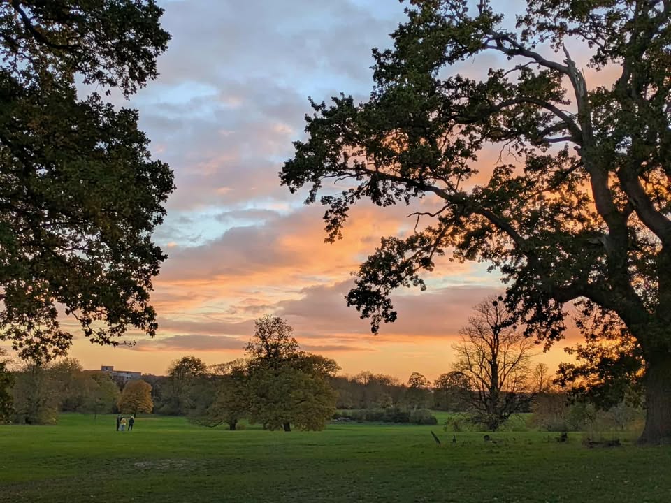
Thanks to Debbie for the photograph.
So the big news is that there appears to be a sudden stratospheric warming (SSW) event about to happen – one has not happened in November in my lifetime (I’m 45 now), so I cannot tell you if the outcome would be different than at other times.
What tends to happen an SSW is that the winds reverse in the stratosphere (10-18km above us) – from westerly to easterly, then this filters down to the troposphere 2-6 weeks later, increasing the chance of easterly winds at mid-latitude locations such as Europe.
It’s not an exact science, each event has different effects and the SSW event hasn’t happened yet anyway. But it does mean than there is a higher than normal chance of cold weather (yes, maybe snow) 2-6 weeks after the SSW. And, of course, you know what dates are right in the middle of that!
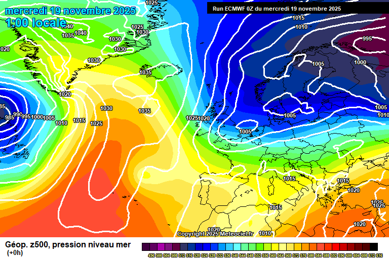
Onto now, and we have our existing cold spell to deal with – high pressure to the west of the UK, low to the east and a northerly wind with notably below average temperatures.

Wednesday starts with a small low pressure crossing – outbreaks of showery heavy rain, which have turned to sleet/snow to our north and this may well persist as it crosses here this morning – perhaps before I’ve had time to click publish. Dry by late morning, some sunny breaks after but plenty of cloud. Feeling cold, 5’C in a northerly wind. Skies clearing overnight and a widespread frost, down to around -2’C.
Thursday starts reasonably sunny but there will be some cloud and one or two scattered showers earlyish morning – more likely of snow than anything else, and falling on frozen ground could lead to a temporary slight accumulation, with ice. Say a 30% chance. After that, a mixture of sunny spells and cloudy spells – probably more cloud overall. Cold in the northerly wind, 4’C. Quite a bit of cloud overnight, probably enough clear spells for a frost, but a close call – down to roughly 0’C. A small chance of fog forming.
Friday looks sunny but cold – perhaps some morning fog but sunny otherwise. We’ll lose the northerly wind so though only 5’C, it won’t feel as cold. A frost at first overnight, down to around -2’C – but temperatures picking up a bit in the second half of the night as a weather front approaches from the west.
Saturday looks mostly cloudy with some bits and pieces of mostly light rain as a weather front crosses, and then fizzles out overhead – perhaps it will stay totally dry. Less cold, 7’C, maybe 8’C. More persistent rain likely in the evening and overnight at times, around 8’C.
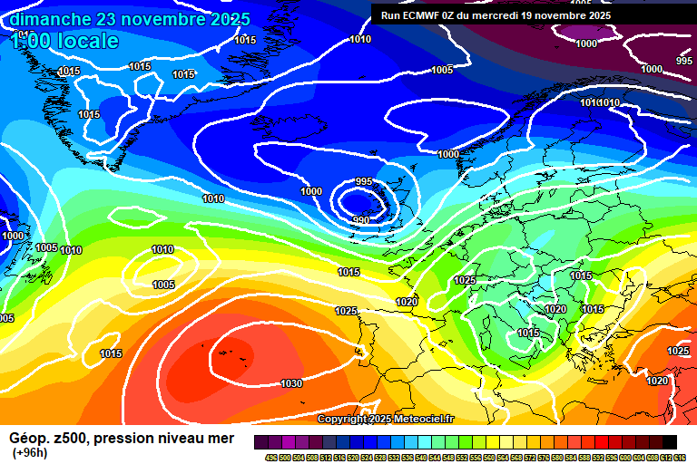
By Sunday we have low pressure in control, but it doesn’t look like a return to Atlantic dominance.

Uncertain as to where weather fronts will be come Sunday, as an educated guess maybe we’ll see rain clearing in the morning and followed by sunny spells and possibly showers – but don’t be surprised if it is cloudier with some rain instead. Milder, around 10’C, possibly windy.
For Monday we’ll be back in a northerly-ish flow, though no direct connection to the Arctic this time. Likely quite cloudy with some showers, though some sunny breaks possible. Possible windy, and roughly around 8’C.
The more likely outcome for Tuesday is low pressure sat over us, the winds likely from a chilly direction, fairly cloudy, some showery rain and roughly around 7’C. Not especially high confidence on details though.
The somewhat more likely outcome for Wednesday/Thursday is something on the cloudier side, perhaps a bit of rain and generally quite cool.
There remains a signal for something drier to start December – there was a milder than normal signal too, but this is muted now.
Interesting times ahead.
Any comments?
No comments yet. Be the first to comment!