Some downpours expected today, and staying mixed afterwards – which does include some sunnier days, but also the potential for an autumnal storm next week.
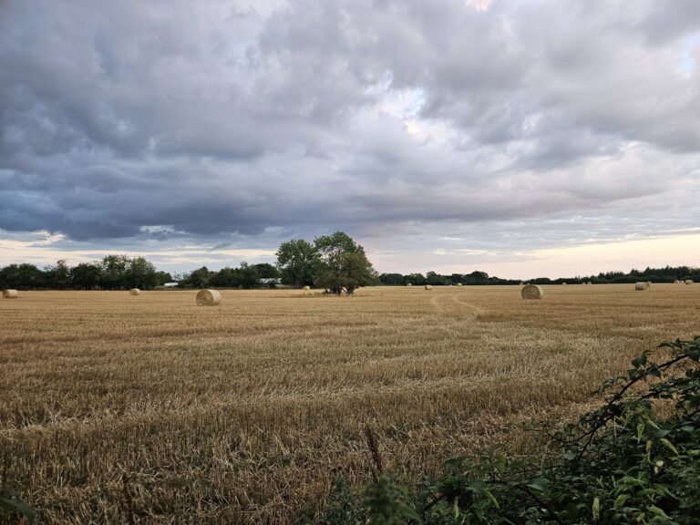
Thanks to Peter for the photograph.
Gosh is it the last day of July already? So the general picture is little changed from the last week or so, we still have high pressure quite close to our south-west which is feeding this rather cloudy Atlantic air over the top.

Today will be a rather cloudy day with some heavy showers at times, potentially merging into longer spells of rain – some probably very heavy, some thunder possible too. Probably drier later in the day, and brighter too. Around 20’C. Reasonably clear skies overnight, down to around 14’C.
Friday sees a lot of cloud, especially in the morning and a few showers breaking out – more likely on the light/moderate side but could still be heavy. A bit more in the way of sunshine for the afternoon, though the shower chance remains – and the potential for more potent downpours, perhaps thundery, for late afternoon/early evening, say a 40% chance of catching one. Temperatures nothing amazing for the start of August, around 21’C. Some cloud, some clear spells overnight, down to around 12’C.
Saturday will be a pleasant day with a mixture of sunny spells and variable amounts of cloud, overall probably more cloud than sun. A small chance of a light/moderate shower. Around 23’C. Clear skies to start the night, clouding over later – down to around 14’C.
Sunday will be a cloudy day with a weather front crossing. A lot of uncertainty on how much rain will fall, it could just be a damp squib, or it could be a fair few hours of heavy/very heavy rain, perhaps even thundery. I feel the latter is more likely, but check forecasts nearer the time if you have plans. Quite warm and humid, around 22’C – and quite windy later. Skies probably clearing for a time overnight, though clouding over later – down to around 14’C.
For Monday, probably we see a more autumnal kind of system crossing the UK, with some tropical origination.

For us in the south, it looks a mostly cloudy day with unusually strong winds for August – potentially gusting 40-50mph which could be enough for some tree branches to come down, so a chance of some disruption. And some heavy rain at times. A warm feel is probable, somewhere between 21’C and 25’C more likely.
Gusts of 40-50mph is the more likely outcome, but it’s possible it could track further south and be more of an issue for us. At the moment, gusts of 60-70mph are very possible for northern England and southern Scotland – so do keep an eye out if you have plans for Monday.
Tuesday should be fair (ish), some sunshine, some cloud – a chance of a shower.
That’s about as far as I can go with any reasonable confidence. I remain a bit concerned about Monday’s system, as it does feel like the kind of “event” that can change longer-term weather patterns, and hence makes me less confident of a return to the hotter, sunnier conditions that I was expecting after the beginning of August.
That said, there could easily be a short heatwave as a consequence of Monday’s storm, arriving for late next week – the more likely outcome, but with low levels of confidence.
Until there is evidence in the models otherwise, I shall stick with my expectation of the dry, sunny and very warm/hot weather to return for weeks 2/3 of August, but now with notably lower confidence.
Have a pleasant weekend ahead, next full forecast will be Monday morning, maybe I will do a short update before, but I tend not to have much time nowadays.
Any comments?
No comments yet. Be the first to comment!