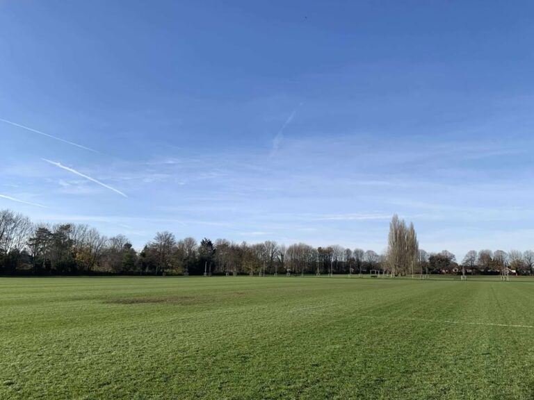
Staying pretty mixed – some sunny days but also some notably wet and windy days too.
Thanks to Fiona for the photograph – alas I cannot promise you the forecast will be so glorious.
The general background pattern sees a return to a westerly, Atlantic-driven flow, though currently with a milder touch.

Thursday is a cloudy day with bits and pieces of light rain and drizzle – probably more persistent and moderate for later in the afternoon. Breezy but much milder, 13’C. Still some patchy rain in the evening, this clearing to clear skies around or just after midnight. Down to around 7’C.
Friday starts bright with hazy sunshine. The band of high cloud will clear during the morning to un-hazy sunshine, though this will be followed by a band of cloud and showers in the afternoon, still some sunny spells though. Around 12’C and becoming quite windy. Clear skies at first overnight, rain probably arriving in the second half of the night.
Saturday sees a small area of low pressure develop and spread across – details on the timing and amount of rain are uncertain but it will rain at some point. Rain more likely in the morning than afternoon, it could be a couple of hours worth, or it could be a whole day’s worth – some heavy bursts will be mixed in. Likely gusty winds also and around 11’C. The rain could continue into the night, more likely it doesn’t but this is uncertain. Colder air will follow once the rain clears though.
Sunday should be sunny, or mostly so. We’ll lose the mild air so feeling colder – around 6’C. Cloud thickening overnight with rain arriving after midnight, temperatures picking up to around 8’C.
We start December with a re-invigorated Atlantic.

Monday sees heavy rain for much of the day – not always raining, but often, and strong winds too. Welcome to winter. The rain gradually clearing in the evening/overnight, clear spells following and down to around 6’C.
Tuesday sees sunny spells – potentially some showers driven inland by the wind, but uncertain on that aspect. Around 10’C, give or take.
Wednesday probably will be fair, sunny spells, most likely dry, lighter winds – around 8’C.
Further wind and rain probable either Wednesday night or more likely during next Thursday.
Probably Friday and into next weekend looks wet and windy, possibly very windy.
So where’s the high pressure block I was expected for the beginning of December? Good question. And what happened with the sudden stratospheric warming (SSW) event? Also a good question.
The SSW has happened (technically anyway), but what it looks like it is doing is the waves are reflecting from the troposphere back into the stratosphere – and this will strengthen the polar vortex in both layers of atmosphere, and the polar vortex keeps the cold bottled up over Arctic regions, and helps drive wet and windy weather our way.
So, scrap any thinking of cold and dry spells for now – expect wet and windy weather. I’m back to thinking a 1% chance of a White Christmas. Maybe the SSW will have secondary effects down the line, but that’s just speculation.
I will do a winter forecast next week, all being well. Next full forecast will be on Monday. Enjoy…if you can!
Any comments?
No comments yet. Be the first to comment!