Becoming warmer again, with a mixture of cloud, sunshine and some heavy showers on some days.
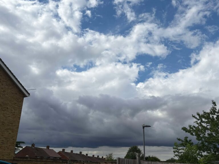
Thanks to Tara for the photograph.
The general set-up sees high pressure ridging to our west, with a more north-westerly flow, which tends to be a cloudier set-up most of the time as remnants of weather systems and general Atlantic-based cloud head here.

Thursday likely starts cloudy, if not it will quickly become cloudy. Some bits and pieces of mostly light rain will spread down from the north, though the odd heavy shower could be mixed in. Around 20’C though a tad cooler in the afternoon. Some cloud, some clear spells overnight, down to around 15’C.
Friday starts mostly sunny, some cloud will bubble up during the morning, probably quite a bit of fair-weather cloud during the lunchtime period (cannot totally rule out a shower), then sunnier later. Very warm, reaching around 27’C. Mostly clear skies overnight though tending to be more cloud by dawn, around 16’C.
Saturday sees a band of cloud crossing in the morning, perhaps a shower, though some hazy sunshine also possible at times. The afternoon generally looks sunnier, still some cloud at times and a 20% chance of catching a heavy shower (perhaps very heavy/thundery). Warm, reaching around 25’C or so. Mostly clear skies overnight, down to around 13’C.
Sunday looks somewhat sunnier, with more sunshine than cloud likely, though still some cloud around at times – and a 25% chance of catching a heavy, thundery downpour in the afternoon/early evening. Warm, around 24’C or so. Mostly clear skies overnight, down to around 14’C.
Not much has changed by Monday synoptically, the Azores high still quite close to our south-west, but not quite close enough for it to be sunny and dry all day – and still a north-westerly flow.

Monday generally looks somewhat on the cloudier side of the spectrum though still some sunny spells, especially early and late in the day. Small chances of a shower. Around 24’C or so.
Lower confidence on day-to-day details by Tuesday but more likely something on the cloudier side of the spectrum, perhaps a bit of light rain at times.
Perhaps sunnier and quite hot for Wednesday/Thursday though fairly low confidence.
Uncertain for next weekend.
Generally the trend should be for high pressure to extend across much of the UK, though it may take until after next weekend to become established fully.
Confidence is increasing in August being drier, warmer and sunnier than normal – potentially hot at times, though I think the extreme heat which was close at times in June/early July, will be less likely than it has been.
Have a pleasant weekend, next forecast should be Sunday morning.
Any comments?
No comments yet. Be the first to comment!