Staying mostly dry for now, but often rather cloudy.
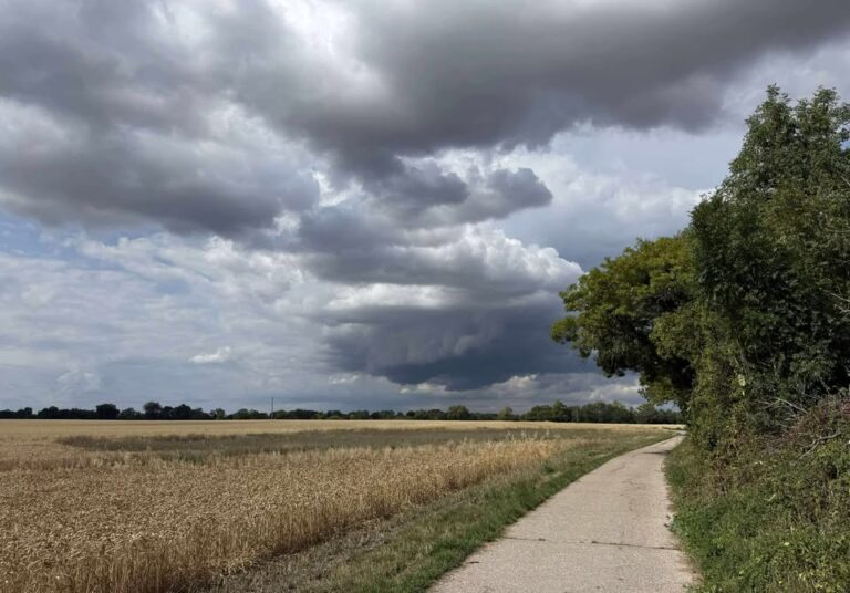
Thanks to Andy for the photograph.
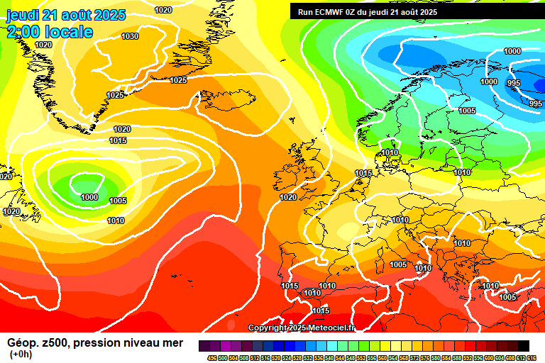
So the general picture sees high pressure in control still, centred towards Iceland and also building in from the south-west, though it does mean a north-easterly breeze, which means yet more cloud. And it has taken longer to clear each day than I expected, so far this week.
Today will be mostly cloudy, if anything the cloud will thicken from where we are now, perhaps a spot of drizzle at times. That said, some sunny breaks are possible, more so late in the day. Struggling to reach 20’C in the north-easterly breeze. Mostly cloudy overnight, down to around 12’C.
Friday again sees plenty of cloud. Some uncertainty over how much, and there is some hope for at least some sunny spells, if not some reasonable spells of sunshine – I think more likely in the morning. A small chance of a light shower. Around 22’C with a bit of sunshine. Fairly cloudy overnight, a spot of light rain possible, down to around 13’C.
Saturday sees high pressure more solidly in control, but there’s lot of cloud still trapped under it. So, most likely a mostly cloudy day, though some sunny breaks possible – more likely early and later in the day. Around 21’C, give or take. Further cloud likely overnight, down to around 13’C.
For Sunday, the cloud should break up more readily, so there will be some reasonable sunny spells, but still a fair amount of cloud floating around. Warmer, around 23’C or so. Fairly clear skies overnight, down to around 11’C.
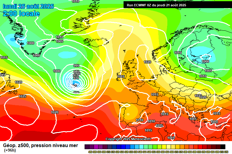
For Bank Holiday Monday, we see high pressure in control, but ex-Hurricane Erin approaching, which looks like she is going to change our weather, although the exact track and patterns not yet sure.
So Monday should be the best day of the extended weekend, good spells of sunshine, some cloud bubbling up, and notably warmer though with some uncertainty, anywhere between 24’C and 28’C more likely. Clear skies overnight, down to around 12’C, give or take.
Tuesday could be quite hot, though weather fronts will be starting to make their way in, so some showery bits of rain possible later in the day. Some uncertainty on this.
Wednesday maybe stays dry or mostly dry, then we should become more showery after this.
Lots of uncertainty from here due to the forecast now relying on the track of ex-hurricane Erin, plus I’ve rushed this forecast a bit as I woke up late!
The more likely outcome for the start of September is that it will be unsettled with showers/rain at times. Oh well…I enjoyed summer, and I hope you did too.
Any comments?
No comments yet. Be the first to comment!