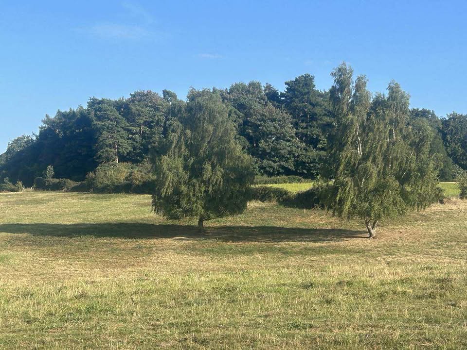
Often sunny and very warm to start, though gradually becoming more unsettled and less warm as next week goes on, as ex-Hurricane Erin slowly grinds her way through. She’s a pattern-changer.
Thanks to Tracy for the photograph.
So we start the forecast period with high pressure in control – ex-Hurricane Erin in the western part of the Atlantic Ocean.

Sunday starts sunny. Quite a lot bubbling up through the middle part of the day, likely more cloud than sun for a fair amount of time – though breaking up later in the day, with more sunny spells. Warm, just about squeezing 24’C. Mostly clear skies overnight, down to around 12’C.
Bank Holiday Monday looks glorious – long spells of sunshine, a little high cloud in the afternoon and very warm, reaching around 26’C. Clear skies for much of the night, though cloud increasing towards dawn. A warmer night, down to around 16’C.
Tuesday morning sees the first of the weather fronts crossing. Some uncertainty, but a couple of hours of heavy, showery rain is probable at some point in the morning – perhaps it all fizzles out by time it gets here, but more likely there is some showery rain. Sunny spells and fair-weather cloud follow for the afternoon, a small chance of a shower, and still very warm – just about getting to 26’C again, or a shade under. Some cloud, some clear spells overnight, down to around 13’C.
By Wednesday, ex-Hurricane Erin hasn’t really moved much over the last day or so, but starts to track towards us.

Probably Wednesday starts sunny, but cloud will bubble up in the morning, perhaps a shower. In the afternoon/evening, timing uncertain, a weather front will push across. No guarantee of any rain/showers, it may all fizzle out as it struggles to cross – but probably there will be at least some showery rain, at some point, perhaps heavy, and outside chance of thunder. Still on the warm side and probably a bit humid, around 23’C.
Lower confidence for Thursday, but the more likely general theme is fairly dry in the morning, some sunny spells some cloud – chance of showers increasing as the day goes on. Still warm.
Friday and Saturday look fairly unsettled, either showers or longer spells of rain, potentially heavy/very heavy, an outside chance of thunder. Broadly around 20’C, unless it rains all day.
Sunday perhaps sees less showers, though this is stated with very low confidence.
The more likely outcome for the next week would be further low pressure systems bringing more wind and rain at times.
Perhaps improving for the second week of September, but very low confidence – as is normal for this time of year when hurricane season is in full flow.
So enjoy the rest of the bank holiday weekend. I’m off back on my adventures, starting in Tallin where the weather is going to be…15’C and wet.
Next full forecast will depend on what free time I get during my travels, but hopefully either on Wednesday or Thursday.
Any comments?
No comments yet. Be the first to comment!